
Role of Geospatial Technology in Crime Mapping & Analysis: A Case Study of District Kasur, Punjab, Pakistan
Keywords:
Crime Analysis, Geographical Information System, Crime Mapping, Daysmetric mapsAbstract
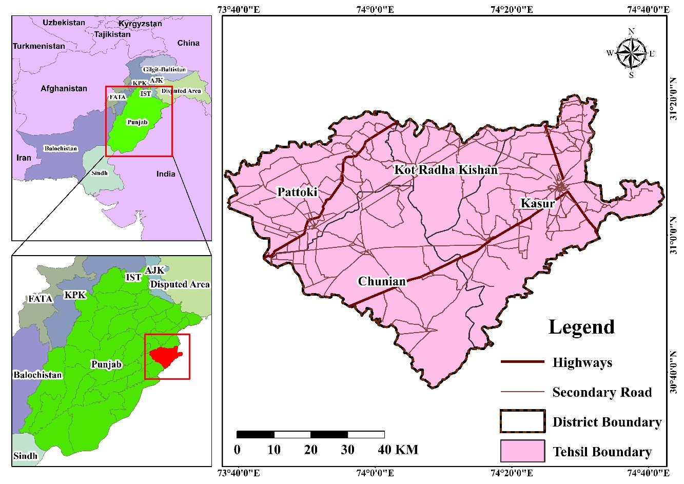
Crime is a social stigma that needs to be addressed beyond talks. The use of geospatial information technology has become well recognized within the fields of forensic sciences and criminology, especially in the developed world. The current study is an attempt to analyze the distribution and trends of various crime types, including rape, murder, baby kidnapping, vehicle theft, and dacoity in district of Kasur Punjab, Pakistan during the year 2021. (Police station wise crime data) was collected from the District Police Office (DPO), Kasur and interpolation technique was applied and several maps were generated, including crime type, crime rate, and crime density with in study area and statistical illustrations were down users Microsoft Excel software suite. Murder crimes were found highest in the vicinity of Sadar Kasur police station whereas lowest in the vicinity of City Pattoki police station. Alla abad police station reported the highest rape crimes, whereas the lowest crime rate was found in the jurisdiction of Theh Sheikham. Kidnapping were highest in Sadar Kasur and Kot Radhakishen police stations’ vicinity, while it was found to be the lowest in the The Sheikham police station’s jurisdiction. Ganda Singh Wala, Kangan Pur, and Sadar Chunian had the lowest number of vehicle theft, whereas the city Pattoki and Sadar Kasur police stations recorded the highest dacoity crime. The present study suggests that the use of geospatial technology within the study area and beyond by the law enforcement departments can effectively enhance crime control and can help to maintain law and order situations.
References
R. Gupta, K. Rajitha, S. Basu, and S. . Mittal, “Application of GIS in Crime Analysis: A Gateway to Safe City,” 14th Annu. Int. Conf. Exhib. Geospatial Inf. Technol. Appl. India Geospatial Forum, pp. 1–6, 2012, [Online]. Available: http://www.indiageospatialforum.org/2012/proceedings/ppt/Prof Gupta, Development.pdf
K. Eman, J. Gyorkos, K. Lukman, and G. Meško, “Crime mapping for the purpose of policing in Slovenia - Recent developments,” Rev. za Kriminalistiko Kriminologijo, vol. 64, no. 3, pp. 287–308, 2013.
M. Townsley, “Crime mapping and spatial analysis,” Crime Prev. 21st Century Insightful Approaches Crime Prev. Initiat., no. September, pp. 101–112, 2017, doi: 10.1007/978-3-319-27793-6_8.
H. M. Afzaal and S. Masood, “Role of Inter-Organizational Information Integration in successful E-Governance,” Int. J. Innov. Sci. Technol., vol. 1, no. 02, pp. 89–107, 2019, doi: 10.33411/ijist/2019010307.
“Factors Affecting Police Officers’ Acceptance of GIS Technologies: A study of the Turkish National Police - UNT Digital Library.” https://digital.library.unt.edu/ark:/67531/metadc84182/ (accessed Jun. 23, 2022).
K. Butorac, “Geography of Crime and Geographic Information Systems,” J. Forensic Sci. Crim. Investig., vol. 2, no. 4, 2017, doi: 10.19080/jfsci.2017.02.555591.
N. Levine, “Crime mapping and the crimestat program,” Geogr. Anal., vol. 38, no. 1, pp. 41–56, 2006, doi: 10.1111/j.0016-7363.2005.00673.x.
T. F. Balogun, H. Okeke, C. I. Chukwukere, T. F. Balogun, H. Okeke, and C. I. Chukwukere, “Crime Mapping in Nigeria Using GIS,” J. Geogr. Inf. Syst., vol. 6, no. 5, pp. 453–466, Oct. 2014, doi: 10.4236/JGIS.2014.65039.
S. Chainey, L. Tompson, and S. Uhlig, “The Utility of Hotspot Mapping for Predicting Spatial Patterns of Crime,” Secur. J., vol. 21, no. 1–2, pp. 4–28, 2008, doi: 10.1057/palgrave.sj.8350066.
D. J. Evans and D. T. Herbert, The geography of crime. Accessed: Jun. 24, 2022. [Online]. Available: https://www.routledge.com/The-Geography-of-Crime-RLE-Social--Cultural-Geography/Evans-Herbert/p/book/9781138989368
A. Newton and M. Felson, “Editorial: Crime patterns in time and space: The dynamics of crime opportunities in urban areas,” Crime Sci., vol. 4, no. 1, pp. 1–5, Dec. 2015, doi: 10.1186/S40163-015-0025-6/TABLES/1.
S. A. Abbas et al., “Assessment and Mapping of Vulnerable Roads to Accidents Through Geospatial Techniques,” Int. J. Innov. Sci. Technol., vol. 2, no. 4, pp. 195–202, 2020.
M. G. Wing and P. Bettinger, “GIS: An Updated Primer on a Powerful Management Tool,” J. For., vol. 101, no. 4, pp. 4–8, Jun. 2003, doi: 10.1093/JOF/101.4.4.
M. Ahmed, M. Ahmed, and R. S. Salihu, “Spatiotemporal Pattern of Crime Using Geographic Information System (GIS) Approach in Dala L.G.A of Kano State, Nigeria Land evaluation View project Dryland Agriculture View project Spatiotemporal Pattern of Crime Using Geographic Information System (GIS),” Am. J. Eng. Res., vol. 2, no. 3, pp. 51–58, 2013, [Online]. Available: https://www.researchgate.net/publication/283311206
W. Anwar, S. N. Khan, J. J. Tahira, and R. Suliman, “Parthenium hysterophorus: AN EMERGING THREAT FOR Curcuma longa FIELDS OF KASUR DISTRICT, PUNJAB, PAKISTAN,” Pak. J. Weed Sci. Res., vol. 18, no. 1, pp. 91–97, 2012.
F. Ahmad, M. M. Uddin, and L. Goparaju, “Role of Geospatial technology in Crime Mapping: A case study of Jharkhand state of India,” Am. J. Geogr. Res. Rev., vol. 2, no. January, pp. 1–11, 2018, doi: 10.28933/ajgrr-2018-01-1801.
K. Waheed and A. I. Mirza, “Estimation of Multidimensional Urban Poverty in South Asian Cities: A Case of Lahore Metropolitan Area,” Int. J. Innov. Sci. Technol., vol. 2, no. 3, pp. 61–79, 2020, [Online]. Available: https://ideas.repec.org/a/abq/ijist1/v2y2020i3p61-79.html
Published
How to Cite
Issue
Section
License
Copyright (c) 2022 50sea

This work is licensed under a Creative Commons Attribution 4.0 International License.


