
Computation of Temporal Decline to a Vanished Island (A Case Study Zalzala Koh)
DOI:
https://doi.org/10.33411/ijist/2019010409Keywords:
Zalzala Koh; Richter Scale; Strike-Slip Fault; Minerals; Gases.Abstract
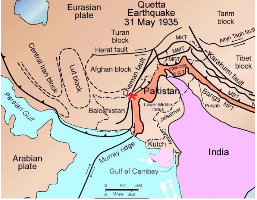
A massive tremor stuck Baluchistan Pakistan on September 24, 2013 with a magnitude of 7.7 recorded on Richter scale. The epicenter was Awaran Baluchistan which directly affected about 300,000 people leaving about 386 causalities. The impact of this earthquake was so much large that it created a new landmass which was named as Zalzala Koh later. It was the result of strike slip faulting at a depth of 15km. The new born island was full of rich minerals, gases and dead sea animals. This island was 60 feet high, 100 feet wide and 250 feet long. The classification results of Landsat 8 show that the island completely disappeared in 2019 after 6 six years of its birth. First the volume of this island decreases due to reduced pressure of internal gases and secondly, the high-pressure water waves vanished it completely. Satellite imagery proved efficient for spatio-temporal monitoring of various landuse classes.
Published
How to Cite
Issue
Section
License
Copyright (c) 2019 50Sea

This work is licensed under a Creative Commons Attribution 4.0 International License.


