
Spatial Analysis of Land Use and Land Cover of Gujranwala District Using Remotely Sensed Data
Keywords:
Geographic Information System, Remote Sensing, Change Detection, Land Use Land CoverAbstract
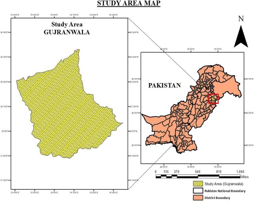
Land use and land cover change a major problem in most metropolitan areas in the world, where a natural land surface is changed by commercial land. Gujranwala is the 5th most populous city of Pakistan. The present population is 2,290,000. This study is an effort to assess the land use changes in Gujranwala District from the years 1990 to 2020. Land use Land cover (LULC) is the spatial change in land use and land cover from 1990 to 2020. The whole research is categorized into four classes (i.e., Vegetation, Uncultivable Land, Built-up Area, and Waterbody). The objectives revolve around the detection and assessment of Land use and Land cover in the district. The land cover is directly proportional to the expansion of the population of the district. The reasons for the changes are the development of residential and commercial buildings. Two types of analysis are being used in the methodology. The temporal analysis is done using Spatial techniques, including Geographic Information System (GIS) and Remote Sensing. Furthermore, the statistical analysis was also performed using the statistical data of the built-up area. The findings depicted that the alterations in land cover were due to an increase in built-up area and population in the city.
References
I. Abbas, K. Muazu, and J. Ukoje, “Mapping land use-land cover and change detection in Kafur local government, Katsina, Nigeria (1995-2008) using remote sensing and GIS,” J. Artic. - Res. J. Environ. Earth Sci., vol. 2, no. 1, pp. 6–12, 2010, [Online]. Available: https://catalog.ihsn.org/citations/61113
Z. B. Jianjun Zhang, Meichen Fu, Jin Tao, Ying Huang, Ferri P. Hassani, “Response of ecological storage and conservation to land use transformation: A case study of a mining town in China,” Ecol. Modell., vol. 221, no. 10, pp. 1427–1439, 2010, doi: https://doi.org/10.1016/j.ecolmodel.2010.02.011.
M. Aboelnour, B. A. Engel, M. Aboelnour, and B. A. Engel, “Application of Remote Sensing Techniques and Geographic Information Systems to Analyze Land Surface Temperature in Response to Land Use/Land Cover Change in Greater Cairo Region, Egypt,” J. Geogr. Inf. Syst., vol. 10, no. 1, pp. 57–88, Jan. 2018, doi: 10.4236/JGIS.2018.101003.
P. C. Yikalo H. Araya, “Analysis and Modeling of Urban Land Cover Change in Setúbal and Sesimbra, Portugal,” Remote Sens, vol. 2, no. 6, pp. 1549–1563, 2010, doi: ttps://doi.org/10.3390/rs2061549.
E. F. Lambin et al., “The causes of land-use and land-cover change: moving beyond the myths,” Glob. Environ. Chang., vol. 11, no. 4, pp. 261–269, Dec. 2001, doi: 10.1016/S0959-3780(01)00007-3.
J. Tang, L. Wang, and Z. Yao, “Spatio‐temporal urban landscape change analysis using the Markov chain model and a modified genetic algorithm,” Int. J. Remote Sens., vol. 28, no. 15, pp. 3255–3271, 2007, doi: 10.1080/01431160600962749.
Downloads
Published
How to Cite
Issue
Section
License
Copyright (c) 2025 50sea

This work is licensed under a Creative Commons Attribution 4.0 International License.


