
Remote Sensing and Morphotectonic Analysis in Hazara Kashmir Syntaxis Using River Longitudinal Profiles
Keywords:
Hazara Kashmir Syntaxis, Stream Profile analysis, Neotectonics, SRTM DEM.Abstract
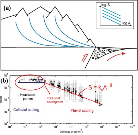
The earthquake of Hazara Kashmir Syntaxis (HKS) occurred in Himalayan zone on October 8, 2005. This incidence occurred as a consequence of advanced dispersion of neotectonics of North West edge of subducting Indo-Pak plate located below Eurasia. The objective of this study is to monitor actively deforming neotectonics using SRTM DEM 90 m based automatic drainage network and geomorphometry. Active neotectonics analysis relies on geomorphic indices for instance concavity, steepness, rate maps of relative uplift and Hack-SL gradient. The topographic relative uplift rates (TRUR), steepness, concavity indices and Hack SL provide accurate results for active tectonics of HKS. The topographic relative uplift rates (TRUR ) are relatively high in the central region, north to northwest, north to northeast, and south to southwest which are nearly 2. 5 mm per year. But it is lower i.e., 0.1 mm per year within the eastern region of Hazara Kashmir Syntaxis. Steep slopes and steepened regions are located along NNW and in the east of HKS which are symptomatic representation of neotectonics activity within HKS. Thus shows the effect of neotectonics over the topography and drainage networks of the area under study. TRUR maps indicate more deformation of study area in central, NNE, NNW and SSW parts than the east towards Sri Nagar.
Published
How to Cite
Issue
Section
License
Copyright (c) 2019 50Sea

This work is licensed under a Creative Commons Attribution 4.0 International License.


