
Assessment of Soil Erosion and Neotectonics Geomorphology of Bannu Basin using RS and GIS Techniques
Keywords:
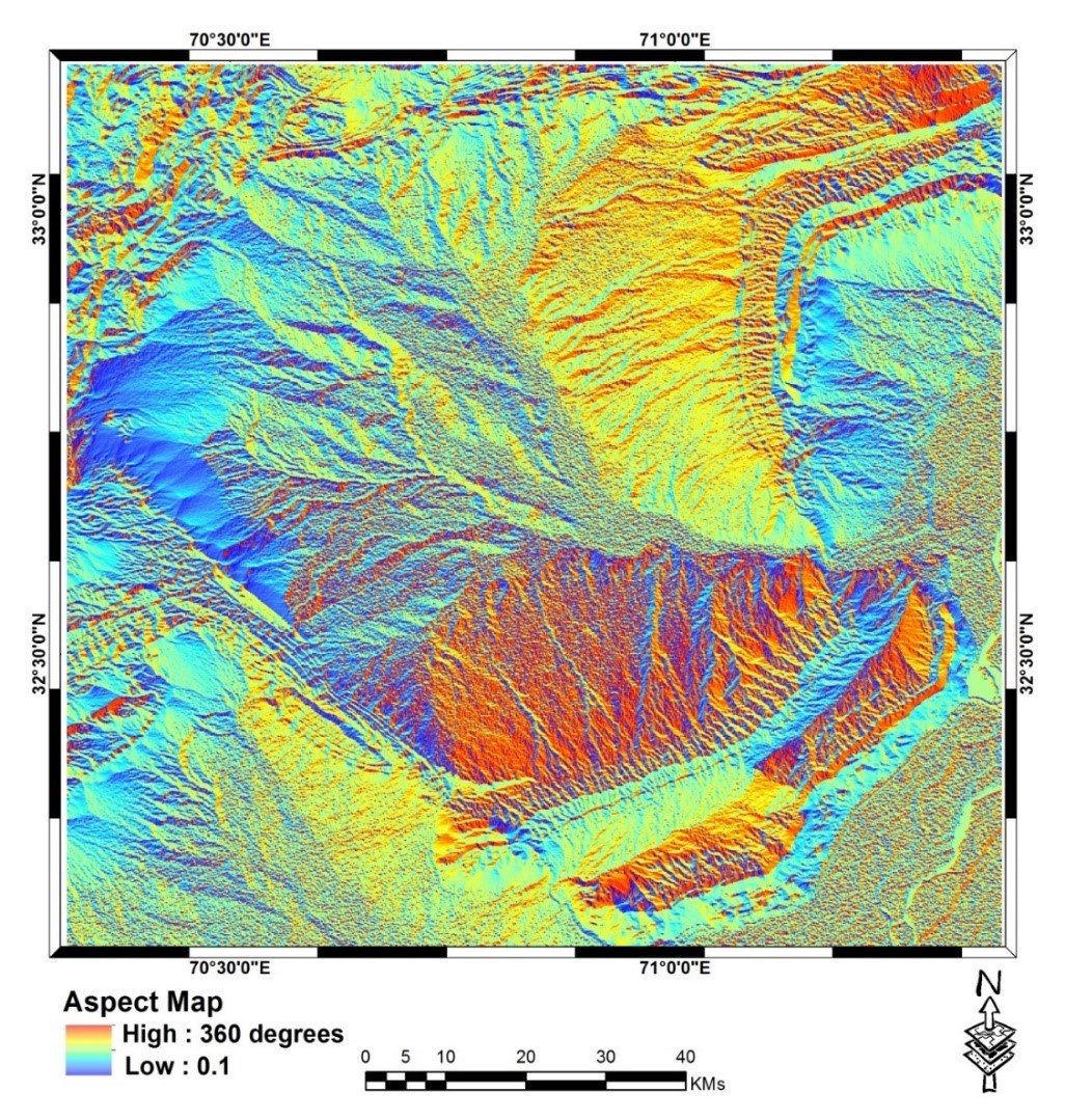
Soil Erosion, Geospatial Assessment, RUSLE, Hypsometric Integral, Drainage density, Transverse Topographic Asymmetry FactorAbstract
Soil erosion presents a significant environmental challenge in Bannu District, adversely impacting agricultural productivity and land sustainability. This research article offers a comprehensive approach to assessing and mitigating soil erosion risk in the region by utilizing the Revised Universal Soil Loss Equation (RUSLE) model in conjunction with hypsometric analysis. The study integrates various geospatial datasets, including mean annual rainfall, digital elevation models, soil maps, land use/land cover classifications, and satellite imagery. These datasets are essential for mapping the five key factors of the RUSLE model: Rainfall Erosivity (R), Soil Erodibility (K), Slope Length and Steepness (LS), Land Cover Management (C), and Support Practice (P). By mapping each factor individually and then integrating them, the study estimates soil erosion rates in Bannu District. Soil erosion risk is categorized into five levels, ranging from very low to excessive, to facilitate practical assessment. This classification assists in identifying areas that require immediate attention and intervention for sustainable land management and agricultural practices. The study highlights the benefits of combining Remote Sensing (RS) and Geographic Information System (GIS) technologies with the RUSLE model. This integration enables policymakers and land managers to evaluate and address soil erosion issues on a broader scale. Additionally, the study examines the role of hypsometry in understanding topography and erosion dynamics, incorporating topographic elements into the RUSLE model to explain soil erosion trends in Bannu District. Overall, this article provides a scientifically rigorous and practical soil erosion risk assessment for Bannu District. By leveraging the RUSLE model and GIS data with hypsometric analysis, the study offers valuable insights for addressing soil erosion and promoting sustainable land use in the region. The findings are intended to assist policymakers and stakeholders in safeguarding agricultural productivity and enhancing land sustainability in Bannu District.
References
D. A. Robinson et al., “Soil natural capital in Europe; A framework for state and change assessment,” Sci. Rep., vol. 7, no. 1, pp. 1–14, 2017, doi: 10.1038/s41598-017-06819-3.
S. D. Keesstra et al., “The significance of soils and soil science towards realization of the United Nations sustainable development goals,” Soil, vol. 2, no. 2, pp. 111–128, 2016, doi: 10.5194/soil-2-111-2016.
A. Gayen and S. Saha, “Application of weights-of-evidence (WoE) and evidential belief function (EBF) models for the delineation of soil erosion vulnerable zones: a study on Pathro river basin, Jharkhand, India,” Model. Earth Syst. Environ., vol. 3, no. 3, pp. 1123–1139, 2017, doi: 10.1007/s40808-017-0362-4.
A. El Jazouli, A. Barakat, A. Ghafiri, S. El Moutaki, A. Ettaqy, and R. Khellouk, “Soil erosion modeled with USLE, GIS, and remote sensing: a case study of Ikkour watershed in Middle Atlas (Morocco),” Geosci. Lett., vol. 4, no. 1, 2017, doi: 10.1186/s40562-017-0091-6.
P. Borrelli et al., “An assessment of the global impact of 21st century land use change on soil erosion,” Nat. Commun., vol. 8, no. 1, 2017, doi: 10.1038/s41467-017-02142-7.
A. Gayen, S. Saha, and H. R. Pourghasemi, “Soil erosion assessment using RUSLE model and its validation by FR probability model,” Geocarto Int., vol. 35, no. 15, pp. 1750–1768, 2020, doi: 10.1080/10106049.2019.1581272.
H. Allafta and C. Opp, “Soil Erosion Assessment Using the RUSLE Model, Remote Sensing, and GIS in the Shatt Al-Arab Basin (Iraq-Iran),” Appl. Sci., vol. 12, no. 15, 2022, doi: 10.3390/app12157776.
P. Chuenchum, M. Xu, and W. Tang, “Estimation of soil erosion and sediment yield in the lancang-mekong river using the modified revised universal soil loss equation and GIS techniques,” Water (Switzerland), vol. 12, no. 1, 2020, doi: 10.3390/w12010135.
D. E. Walling, “Human impact on the sediment loads of Asian rivers,” IAHS-AISH Publ., vol. 349, no. September 2009, pp. 37–51, 2011.
A. Maqsoom et al., “Geospatial Assessment of Soil Erosion Intensity and Sediment Yield Using the Revised Universal Soil Loss Equation (RUSLE) Model,” ISPRS Int. J. Geo-Information 2020, Vol. 9, Page 356, vol. 9, no. 6, p. 356, May 2020, doi: 10.3390/IJGI9060356.
T. Khatoon and A. Javed, “Morphometric Behavior of Shahzad Watershed, Lalitpur District, Uttar Pradesh, India: A Geospatial Approach,” J. Geogr. Inf. Syst., vol. 14, no. 03, pp. 193–220, 2022, doi: 10.4236/jgis.2022.143011.
A. Ashraf, M. K. Abuzar, B. Ahmad, M. M. Ahmad, and Q. Hussain, “Modeling risk of soil erosion in high and medium rainfall zones of pothwar region, Pakistan,” Proc. Pakistan Acad. Sci. Part B, vol. 54, no. 2, pp. 67–77, 2017.
P. Thapa, “Spatial Estimation of Soil Erosion Using RUSLE Modeling: A case study of Dolakha District, Nepal,” Jul. 2020, doi: 10.21203/RS.3.RS-25478/V4.
H. Atoma, K. V Suryabhagavan, and M. Balakrishnan, “Soil erosion assessment using RUSLE model and GIS in Huluka watershed, Central Ethiopia,” Sustain. Water Resour. Manag., vol. 6, no. 1, p. 12, 2020, doi: 10.1007/s40899-020-00365-z.
A. R. Vaezi, M. Abbasi, S. Keesstra, and A. Cerdà, “Assessment of soil particle erodibility and sediment trapping using check dams in small semi-arid catchments,” CATENA, vol. 157, pp. 227–240, 2017, doi: https://doi.org/10.1016/j.catena.2017.05.021.
X. Wang et al., “Assessment of soil erosion change and its relationships with land use/cover change in China from the end of the 1980s to 2010,” CATENA, vol. 137, pp. 256–268, 2016, doi: https://doi.org/10.1016/j.catena.2015.10.004.
M. Zare, T. Panagopoulos, and L. Loures, “Simulating the impacts of future land use change on soil erosion in the Kasilian watershed, Iran,” Land use policy, vol. 67, pp. 558–572, 2017, doi: https://doi.org/10.1016/j.landusepol.2017.06.028.
S. Altaf, G. Meraj, and S. A. Romshoo, “Morphometry and land cover based multi-criteria analysis for assessing the soil erosion susceptibility of the western Himalayan watershed,” Environ. Monit. Assess., vol. 186, no. 12, pp. 8391–8412, 2014, doi: 10.1007/s10661-014-4012-2.
M. Amin and S. A. Romshoo, “Comparative assessment of soil erosion modelling approaches in a Himalayan watershed,” Model. Earth Syst. Environ., vol. 5, no. 1, pp. 175–192, 2019, doi: 10.1007/s40808-018-0526-x.
H. Abdo and J. Salloum, “Mapping the soil loss in Marqya basin: Syria using RUSLE model in GIS and RS techniques,” Environ. Earth Sci., vol. 76, no. 3, p. 114, 2017, doi: 10.1007/s12665-017-6424-0.
O. Djoukbala, M. Mazour, M. Hasbaia, and O. Benselama, “Estimating of water erosion in semiarid regions using RUSLE equation under GIS environment,” Environ. Earth Sci., vol. 77, no. 9, p. 345, 2018, doi: 10.1007/s12665-018-7532-1.
H. S. Gelagay and A. S. Minale, “Soil loss estimation using GIS and Remote sensing techniques: A case of Koga watershed, Northwestern Ethiopia,” Int. Soil Water Conserv. Res., vol. 4, no. 2, pp. 126–136, 2016, doi: 10.1016/j.iswcr.2016.01.002.
P. Rangsiwanichpong, S. Kazama, and L. Gunawardhana, “Assessment of sediment yield in Thailand using revised universal soil loss equation and geographic information system techniques,” River Res. Appl., vol. 34, no. 9, pp. 1113–1122, 2018, doi: https://doi.org/10.1002/rra.3351.
S. S. Biswas and P. Pani, “Estimation of soil erosion using RUSLE and GIS techniques: a case study of Barakar River basin, Jharkhand, India,” Model. Earth Syst. Environ., vol. 1, no. 4, pp. 1–13, 2015, doi: 10.1007/s40808-015-0040-3.
K. Balasubramani, M. Veena, K. Kumaraswamy, and V. Saravanabavan, “Estimation of soil erosion in a semi-arid watershed of Tamil Nadu (India) using revised universal soil loss equation (rusle) model through GIS,” Model. Earth Syst. Environ., vol. 1, no. 3, pp. 1–17, 2015, doi: 10.1007/s40808-015-0015-4.
L. Jiang, Z. Yao, Z. Liu, S. Wu, R. Wang, and L. Wang, “Estimation of soil erosion in some sections of Lower Jinsha River based on RUSLE,” Nat. Hazards, vol. 76, no. 3, pp. 1831–1847, 2015, doi: 10.1007/s11069-014-1569-6.
Q. Zhou, S. Yang, C. Zhao, M. Cai, and L. Ya, “A Soil Erosion Assessment of the Upper Mekong River in Yunnan Province, China,” Mt. Res. Dev., vol. 34, no. 1, pp. 36–47, 2014, doi: 10.1659/MRD-JOURNAL-D-13-00027.1.
S. Ullah, A. Ali, M. Iqbal, M. Javid, and M. Imran, “Geospatial assessment of soil erosion intensity and sediment yield: a case study of Potohar Region, Pakistan,” Environ. Earth Sci., vol. 77, no. 19, pp. 1–13, Oct. 2018, doi: 10.1007/S12665-018-7867-7/METRICS.
H. Xie, Y. Zhang, Z. Wu, and T. Lv, “A bibliometric analysis on land degradation: Current status, development, and future directions,” Land, vol. 9, no. 1, 2020, doi: 10.3390/LAND9010028.
X. Chen, Z. Liang, Z. Zhang, and L. Zhang, “Effects of soil and water conservation measures on runoff and sediment yield in red soil slope farmland under natural rainfall,” Sustain., vol. 12, no. 8, 2020, doi: 10.3390/SU12083417.
I. C. Nicu, “Is overgrazing really influencing soil erosion?,” Water (Switzerland), vol. 10, no. 8, pp. 1–16, 2018, doi: 10.3390/w10081077.
R. U. Khan, T. Bannu, and T. Bannu, “Ethnobotanical Study of Food Value Flora of District Bannu Khyber Journal of Medicinal Plants Studies Ethnobotanical Study of Food Value Flora of District Bannu Khyber Pakhtunkhwa , Pakistan,” no. June 2015, 2013.
K. Pakhtunkhwa, M. Rooman, Y. Assad, S. Tabassum, S. Sultan, and S. Ayaz, “A cross-sectional survey of hard ticks and molecular characterization of Rhipicephalus microplus parasitizing domestic animals of,” no. August, 2021, doi: 10.1371/journal.pone.0255138.
T. S. Abdulkadir et al., “Quantitative analysis of soil erosion causative factors for susceptibility assessment in a complex watershed,” Cogent Eng., vol. 6, no. 1, Jan. 2019, doi: 10.1080/23311916.2019.1594506.
L. Tsegaye and R. Bharti, “Soil erosion and sediment yield assessment using RUSLE and GIS-based approach in Anjeb watershed, Northwest Ethiopia,” SN Appl. Sci., vol. 3, no. 5, pp. 1–19, 2021, doi: 10.1007/s42452-021-04564-x.
W. Maleika, “Inverse distance weighting method optimization in the process of digital terrain model creation based on data collected from a multibeam echosounder,” Appl. Geomatics, vol. 12, no. 4, pp. 397–407, 2020, doi: 10.1007/s12518-020-00307-6.
D. Liu, Q. Zhao, D. Fu, S. Guo, P. Liu, and Y. Zeng, “Comparison of spatial interpolation methods for the estimation of precipitation patterns at different time scales to improve the accuracy of discharge simulations,” Hydrol. Res., vol. 51, no. 4, pp. 583–601, 2020, doi: 10.2166/NH.2020.146.
N. Ejaz, M. Elhag, J. Bahrawi, L. Zhang, H. F. Gabriel, and K. U. Rahman, “Soil Erosion Modelling and Accumulation Using RUSLE and Remote Sensing Techniques: Case Study Wadi Baysh, Kingdom of Saudi Arabia,” Sustain., vol. 15, no. 4, pp. 1–14, 2023, doi: 10.3390/su15043218.
S. Y. Siswanto and M. I. S. Sule, “The Impact of slope steepness and land use type on soil properties in Cirandu Sub-Sub Catchment, Citarum Watershed,” IOP Conf. Ser. Earth Environ. Sci., vol. 393, no. 1, 2019, doi: 10.1088/1755-1315/393/1/012059.
I. A. N. D. Moore and G. J. Burch, “DIVISION S-6-SOIL AND WATER MANAGEMENT Physical Basis of the Length-slope Factor in the Universal Soil Loss Equation 1,” Soil Conserv., vol. 50, no. 1986, pp. 1294–1298, 1986.
I. D. Moore and G. J. Burch, “Modelling Erosion and Deposition: Topographic Effects.,” Trans. Am. Soc. Agric. Eng., vol. 29, no. 6, pp. 1624–1630, 1986, doi: 10.13031/2013.30363.
B. P. Ganasri and H. Ramesh, “Assessment of soil erosion by RUSLE model using remote sensing and GIS - A case study of Nethravathi Basin,” Geosci. Front., vol. 7, no. 6, pp. 953–961, 2016, doi: 10.1016/j.gsf.2015.10.007.
Y. Farhan and S. Nawaiseh, “Spatial assessment of soil erosion risk using RUSLE and GIS techniques,” Environ. Earth Sci., vol. 74, no. 6, pp. 4649–4669, 2015, doi: 10.1007/s12665-015-4430-7.
A. Y. Yesuph and A. B. Dagnew, “Soil erosion mapping and severity analysis based on RUSLE model and local perception in the Beshillo Catchment of the Blue Nile Basin, Ethiopia,” Environ. Syst. Res., vol. 8, no. 1, pp. 1–21, 2019, doi: 10.1186/s40068-019-0145-1.
C. M. Fayas, N. S. Abeysingha, K. G. S. Nirmanee, D. Samaratunga, and A. Mallawatantri, “Soil loss estimation using rusle model to prioritize erosion control in KELANI river basin in Sri Lanka,” Int. Soil Water Conserv. Res., vol. 7, no. 2, pp. 130–137, 2019, doi: 10.1016/j.iswcr.2019.01.003.
S. Batool, S. A. Shirazi, and S. A. Mahmood, “Research Article Appraisal of Soil Erosion through RUSLE Model and Hypsometry in Chakwal Watershed (Potwar-Pakistan),” 2021.
Downloads
Published
How to Cite
Issue
Section
License
Copyright (c) 2024 50SEA

This work is licensed under a Creative Commons Attribution 4.0 International License.


